RoCS

June 01, 2022
Evaluating resource use patterns both spatially (across space) and temporally (across time) is vital when implementing conservation and fishery and management practices by highlighting high use (maximise resource allocation) and no activity (natural refugia) zones.
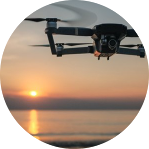
Image: (DJI Mavic 3 Pro Drone)
Roving Creel Surveys (RoCS) – using drone surveys and questionnaires to quantify fishing catch and effort
Recreational fishing is a popular activity that arguable has a substantial impact through over-exploitation. Although it is unlikely that a single angler can have a measurable impact on a species or population, with an estimated ± 1 300 000 recreational anglers in South Africa, the cumulative impact is immense.
Understanding spatial and temporal fishing patterns is important in ensuring wise management and sustainable use. Unfortunately, obtaining estimates of catch and effort from recreational fishing activities are complex and expensive due to the large spatial scales over which surveys are typically conducted and the fine- scale temporal resolution that is desired. However,… Teamwork makes the dream work!
We are partnering with the Department of Ichthyology and Fisheries Science (DIFS), at Rhodes University to undertake aerial and roving creel surveys of the Western Cape coastline, between June 2022 and May 2023. This forms part of a larger study that will also survey the eastern Cape coastline in an effort to improve our understanding of the exploitation of nearshore fish stocks.
Project PI: Dr Michelle Soekoe (Western Cape portion)
Project PI: Kyle Hewett, DIFS (Eastern Cape portion)
